
Seagrass Mapping
Pilot project:
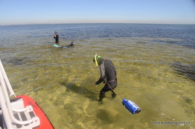
Mapping seagrass in Moreton Bay, Qld

Moreton Bay, Queensland. Image supplied by Dr Chris Roelfsema
Background
Seagrass is an integral part of the coastal marine environment, however, effort on monitoring the health and extent of these environments via remote sensing has remained relatively uncommon compared to their terrestrial counterparts. Dr Mitchell Lyons (JRSRP, UQ), A/Prof. Chris Roelfsema (UQ), Kat Markey (UQ), Brianna Heely (HLW), Robert Denham (JRSRP, DES) and Christian Witte (DES) are working on bridging the gap thanks to funding by the Qld Government Department of Environment and Science and Healthy Land and Water (HLW), in collaboration with the JRSRP.
The pilot research project occurring in the Morten Bay region is developing methods and processes to map seagrass extent and percentage cover. This will assist natural resource and environmental managers to report on condition and quality and develop management plans and policies based on reliable data.
Although only focused on the Moreton Bay area currently, the team are constructing and developing with the bigger picture in mind if future support becomes available. This would enable expansion to a Queensland-wide seagrass mapping framework and open the door to a broader coastal environment mapping program in Queensland and nationally.
How
The prototype mapping is being developed on Google Earth Engine (JavaScript API) and the later stages of the project will focus on translation to the Queenland Government spatial data infrastructure (Python + High Performance Computing ).
Moreton Bay, Queensland. Image supplied by Dr Chris Roelfsema
Seagrass is mapped by integrating field data surveys with multitemporal Sentinel-2 satellite image mosaics, using machine learning plus contextual editing approach. Depending on water visibility, seagrass can generally be mapped to a depth of 5-10m and up to 20-30m if the water is clear.
It is also possible to focus on different aspects of the data depending on what the end user requires. For example, seagrass extent can be mapped from a compilation of best available Sentinel-2 scenes over the duration of a year or constrained to months or individual date captures.
The mapping framework builds on almost two decades of work in Moreton Bay mapping and surveying seagrass in the field.
Products
The outputs from the pilot project will include:
Seagrass extent, and (potential) percentage cover maps from 2021 and 2022
Assessment of change 2021‐2022
Repeatable mapping approach ready for JRSRP development, and training of JRSRP staff
Proposal for ongoing annual integrated field and Earth observation‐based monitoring program for MBMP
Recommendation if existing field programs, including citizen science surveys, require any adjustments for the annual (or three yearly) integrated field and remote sensing mapping program, and
Recommendation for field data parameters to be collected and distribution in relation to annual remote sensing‐based mapping efforts.
Applications
Marine Park Planning
Environmental and Economic Accounting
Southeast Queensland Healthy Land and Water Report Card
Change detection
Compliance; and
Restoration and management project planning.
Where to next
After the completion of this pilot project, the team will sit down and determine whether there is a feasible and cost-effective path forward for the QLD government to adopt a larger scale seagrass mapping component into their remit.
Acknowledgements
Qld Government Dept of Environment and Science
University of Queensland Remote Sensing Research Centre
To find out more
Contact Assoc. Professor Chris Roelfsema c.roelfsema@uq.edu.au
version 1.0