
Delivering research and remote sensing products for environmental management
The Joint Remote Sensing Research Program is a long standing and highly productive collaboration of skilled academic and government staff who have earned international reputations for innovation in remote sensing research.
The Joint Remote Sensing Research Program is focused on building the capability of government to monitor the environment using Earth observation.
With applications for government, advocacy groups, and industry, the programs research develops practical methods to track change in the environment over time, or to map and monitor land use, vegetation extent or coverage, tree health, crop condition, predict crop yields, and much more.
The programs work is scientifically credible and legally defensible, with applications for government, advocacy groups, and industry.
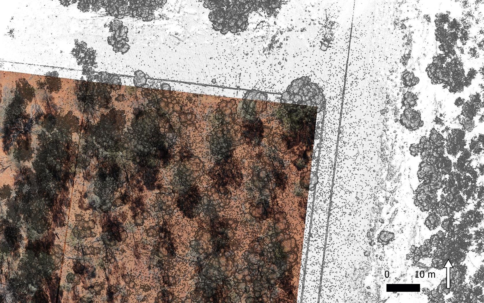
Header image courtesy of Queensland Department of Environment and Science. This image shows a high-resolution drone image, and a superimposed laser scanner image, over a mulga (Acacia aneura) woodland on Boatman Station, about 140 km south-east of Charleville, Queensland.