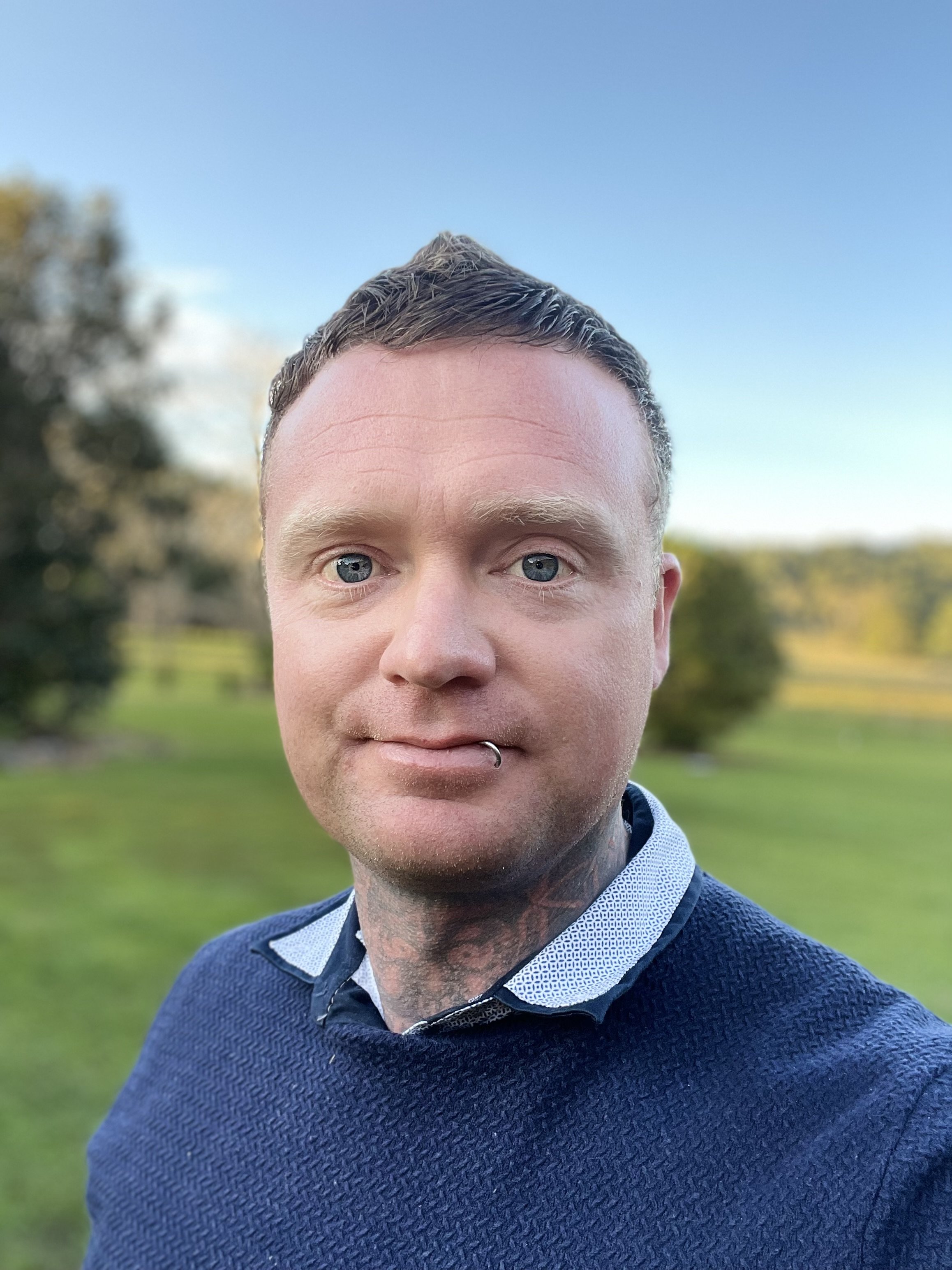
JRSRP Staff
William Duckworth
Senior Software Developer
William Duckworth is an experienced software engineer with a strong background in industrial automation, control systems, and large-scale computing infrastructure. Over his career, he has delivered automation and systems integration solutions across the agricultural industry, with a focus on industrial electronic circuitry and data gathering, as well as proprietary software systems.
William currently serves as a Senior Software Developer for the JRSRP, working on behalf of the NSW Government. In this role, he develops and maintains continuous integration and delivery pipelines, implements containerised workflows, and writes production-grade code to support remote sensing scientists working on complex data analysis. His work enables the efficient execution of satellite data processing workflows on high-performance computing (HPC) systems across the state partners, ensuring reproducibility, scalability, and optimal use of computational resources.
Jo Edkins
Research Manager
William Duckworth is an experienced software engineer with a strong background in industrial automation, control systems, and large-scale computing infrastructure. Over his career, he has delivered automation and systems integration solutions across the agricultural industry, with a focus on industrial electronic circuitry and data gathering, as well as proprietary software systems.
William currently serves as a Senior Software Developer for the Joint Remote Sensing Research Project, working on behalf of the NSW Government. In this role, he develops and maintains continuous integration and delivery pipelines, implements containerised workflows, and writes production-grade code to support remote sensing scientists working on complex data analysis. His work enables the efficient execution of satellite data processing workflows on high-performance computing (HPC) systems across the state partners, ensuring reproducibility, scalability, and optimal use of computational resources.
Dr Nicholas Goodwin
Research Fellow
Dr Nicholas Goodwin has over twenty years’ experience in remote sensing working across a wide range of projects and technologies at different spatial and temporal scales. Nicholas gained his undergraduate degree and PhD at the University of NSW before undertaking a post-doc at the University of British Columbia. He is now a member of the JRSRP and works with the Queensland and NSW Government on the development of standardised workflows and products for LiDAR datasets.
Dr Lydia Li
Research Fellow
Dr Lydia Li is a geospatial data scientist specialising in remote sensing and Earth observation for environmental monitoring. Her current research focuses on modelling canopy height across Australia by integrating GEDI LiDAR and Sentinel-2 data. Lydia develops scalable, reproducible workflows using high-performance computing, cloud platforms, and machine learning to support ecosystem monitoring and land management.
She has previously led research on grassland curing for fire monitoring and contributed to government initiatives in environmental water planning and floodplain management. Lydia’s expertise spans the integration of LiDAR and multispectral data, AI/ML applications in land cover change detection, and the development of EO-based indicators for climate adaptation, biodiversity policy, and fire management.
Dr Anthea Mitchell
Research Fellow
Visiting Research Fellow, School of Biological, Earth and Environmental Sciences (BEES), University of New South Wales, Kensington, Sydney, NSW 2052.
Dr Anthea Mitchell is currently a member of the JRSRP and collaborating with NSW Government on developing methods for mapping woody regrowth using satellite optical and radar data. She is based at UNSW in Sydney.
Anthea has ~20 years of experience in remote sensing research in support of natural resource management. Her research interests include forest and land cover change monitoring, post-fire recovery, and imaging radar for assessing mangrove and wetlands dynamics. She has led or participated in several major research projects supported by the European Commission, Global Forest Observations Initiative (GFOI), Japanese Space Agency (JAXA) and the Cooperative Research Centre for Spatial Information (CRCSI). Anthea has a BSc in Applied Geography and PhD in Remote Sensing from the University of New South Wales (UNSW).


